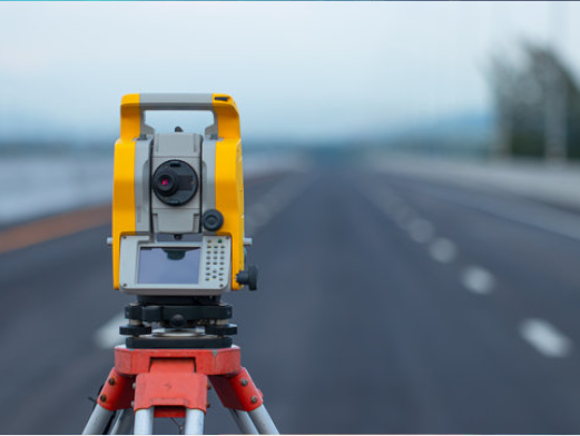
Program's Overview
The General Objective of the Department of Land Survey is to train qualified and competent surveyors with strong knowledge and professional skills so to mitigate the challenges related to the scarcity of competent land surveyors in the labor market, and act as an outreach regional centre for surveying services.
The personal qualifications of surveyors are as important as their technical ability in dealing with the public. In addition to skills, INES-Ruhengeri trains surveyors who are patient and tactful with clients and their sometimes-hostile neighbors. They are aware of the painstaking research of old records required before fieldwork is started. They are knowledgeable in both field operations and office computations/Data Processing. Above all, they are governed by a professional code of ethics. Graduates from Land survey Department upgrade their bachelors studies very easily at any university with Geomatics or related fields.
Entry Requirements
-
Combinations
-
Physics-Chemistry-Mathematics;
Mathematics- Physics–Geography;
Mathematics-Physics-Computer Science;
Mathematics-Economy-Computer Science;
Mathematics-Economics–Geography;
Mathematics-Chemistry–Biology;
Mathematics-Physics–Biology;
Mathematics-Geography;
Mathematics-Economy;
Mathematics-Computer;
Mathematics-Physics;
TTC/Science & Math Option;
Land Surveying;
Construction;
Road construction;
Carpentry;
Masonry;
Construction Technology.
-
Required documents
-
A prospective student to enroll in the first year Bachelors of Science with Honors in Land Survey must have successfully completed secondary school level with at least 2 principal pass in related field and having majored at least in the cluster combinations listed above.
Exit and Career Profile
Having successfully completed the program of Bachelors of Science in Land Survey, the graduands presented below have developed the following knowledge, skills and attitudes:
- Knowledge and Understanding in:
- Mathematics especially in linear algebra, analytical geometry and trigonometry;
- Geo-information systems (GIS) software, Geodesy and Mapping;
- Global positioning Systems (GPS) theories and techniques
- Land Law and property law
Practical Skills in:
- Conducting cadastral surveying and produce related maps;
- Carrying out global positioning using GPS receiver;
- Using GIS software and hardware to capture, store, analyze and manage spatially referenced data in order to be able to make decisions on land use planning and management;
- Using Surveying equipment (Theodolite, Total station, Laser Scanner, plotters, etc) to collect geospatial data and produce relevant maps.
Professional Attitudes:
With these knowledge, skills and attitudes, the graduands from land survey department can competently perform and demonstrate as:
- Land officers at District, Town/or Province Level
- Land valuer, Consultant in land related issues in different organizations
The graduands from land survey department apply their knowledge and skills with the following attitudes:
- Accuracy
- Strictness
- Honesty
- Self-responsibility
- Critical Mindset
- Solution mindedness
Contacts of the Head of Department
Offered Modules
Year 1
| No | Module Title | No of credits | Semester |
|---|---|---|---|
| 1 | Communication Skills | 10 | 1 |
| 2 | ICT and Introduction to Scientific Research | 15 | |
| 3 | Philosophical Studies | 10 | |
| 4 | Calculus | 15 | |
| 1 | Linear Algebra and Trigonometry | 15 | 2 |
| 2 | Solid and Fluid Mechanics | 15 | |
| 3 | Environment and infrastructures Development | 10 | |
| 4 | Introduction to Surveying | 15 | |
| 5 | Engineering drawing | 15 |
Year 2
| No | Module Title | No of credits | Semester |
|---|---|---|---|
| 1 | Probability and statistic | 10 | 1 |
| 2 | Electromagnetism, Optics and Digital Sensors | 10 | |
| 3 | Computer Programming | 15 | |
| 4 | Geospatial Measurement Techniques | 15 | |
| 5 | Cartography and Introduction to GIS | 15 | |
| 1 | Remote Sensing | 15 | 2 |
| 2 | Control Surveys and Detail Mapping | 15 | |
| 3 | Geodesy | 10 | |
| 4 | Surveying CADD software | 10 |
Year 3
| No | Module Title | No of credits | Semester |
|---|---|---|---|
| 1 | Photogrammetry | 15 | 1 |
| 2 | Geographic Information Systems | 15 | |
| 3 | Engineering Surveying | 20 | |
| 4 | Hydrographic Surveying | 10 | |
| 1 | Global Navigation Satellite Systems | 10 | 2 |
| 2 | Survey Adjustments | 10 | |
| 3 | Cadastral surveying | 20 | |
| 4 | Research Methodology | 10 | |
| 5 | Industrial Attachment | 15 |
Year 4
| No | Module Title | No of credits | Semester |
|---|---|---|---|
| 1 | Memoir/Final Dissertation | 20 | 1 |
| 2 | Negotiation and Land Dispute Resolution | 10 | |
| 3 | Land law | 10 | |
| 4 | Urban and Regional Planning | 10 | |
| 5 | Land Administration and Information System | 15 | |
| 1 | Entrepreneurship and Project Management | 15 | 2 |
| 2 | Spatial Data Infrastructure | 10 | |
| 3 | Professional Practice | 10 | |
| 4 | Applied GIS and RS | 10 | |
| 5 | Surveying Camp | 10 |
| Photo | Names | Qualification | Rank | Area of specialization | Bio |
|---|---|---|---|---|---|
|
Dr. NSANZIYERA Ange Félix | PhD | HoD / Lecturer | GIS and remote Sensing | View Profile |

|
Mr. MUVUNYI Germain | Msc | Lecturer | Geoinformatics | View Profile |
|
Mr. NKERABIGWI Placide | Msc | Lecturer | Geomatics and Surveying | View Profile |
|
Ms. DUKUZEMARIYA Tharcille | PhD Candidate | Lecturer | Geomatics and Surveying | View Profile |
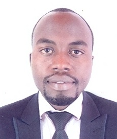
|
Mr. HAKUZWIYAREMYE Noel | Msc | Assistant Lecturer | Geomatic Engineering | View Profile |

|
Mr. RUGIRA Fraterne | Msc | Assistant Lecturer | Geo-informatics | View Profile |
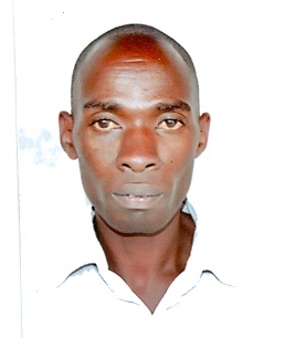
|
Mr. MANIRAGABA Jean Baptiste | Msc candidate | Tutorial and Administrative Assistant | Land Survey | View Profile |
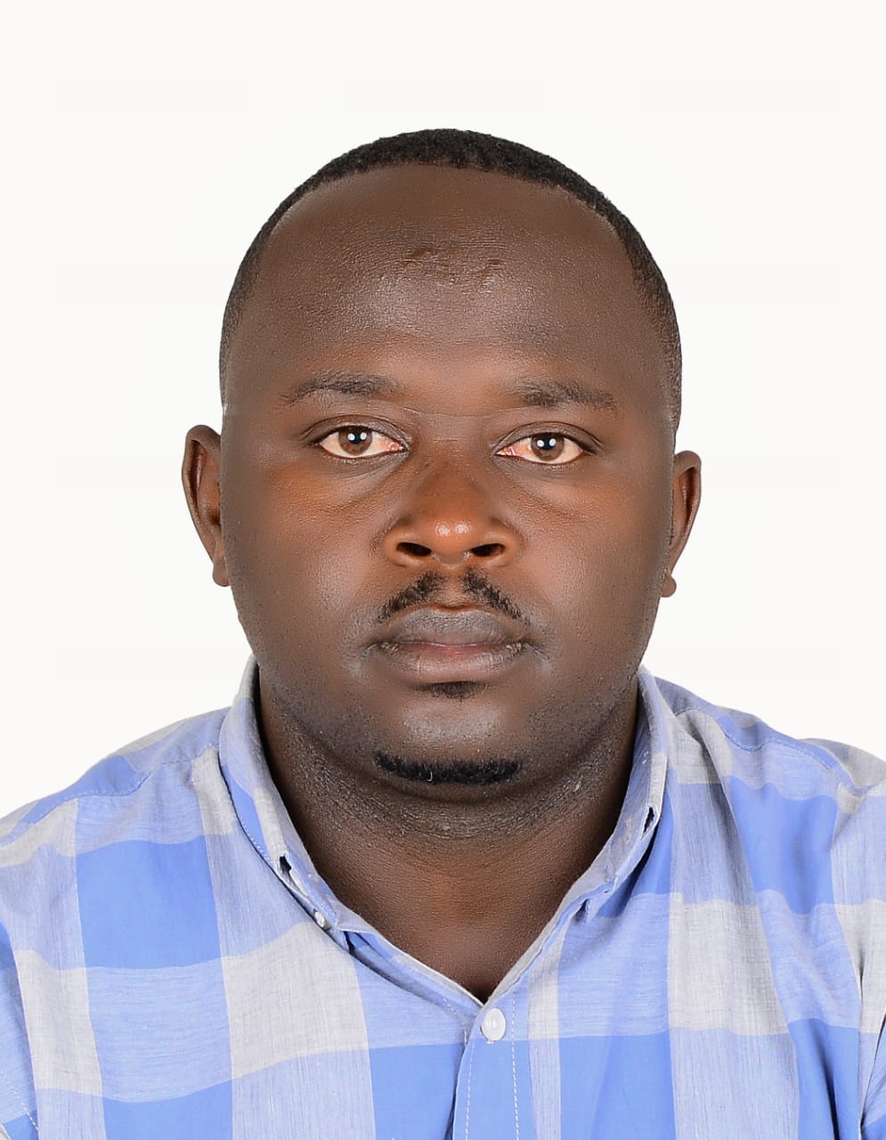
|
Eng. HABIMANA Jean Pierre | Msc | Assistant Lecturer | Geo-information Science for Environment and Sustainable Development (GIS-ESD) | View Profile |
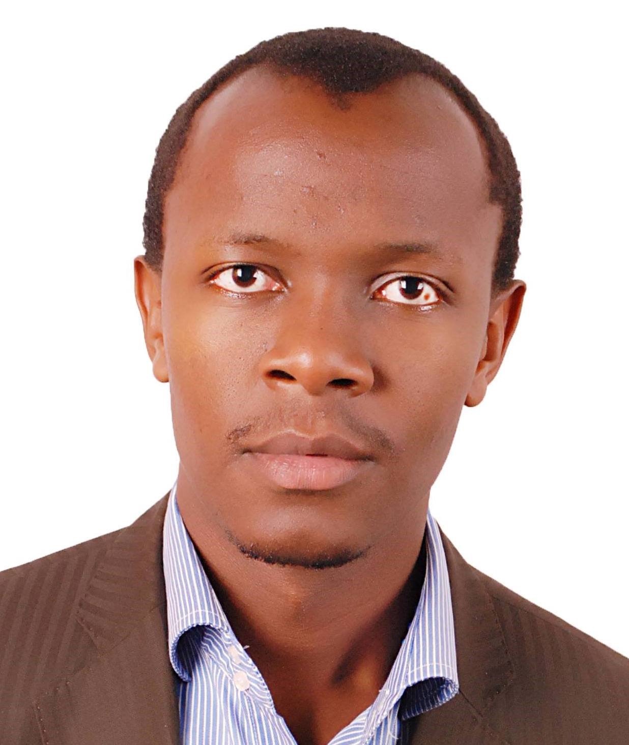
|
Mr. KUBWIMANA J. de Dieu | Msc candidate | Tutorial Assistant | Land Survey | |
|
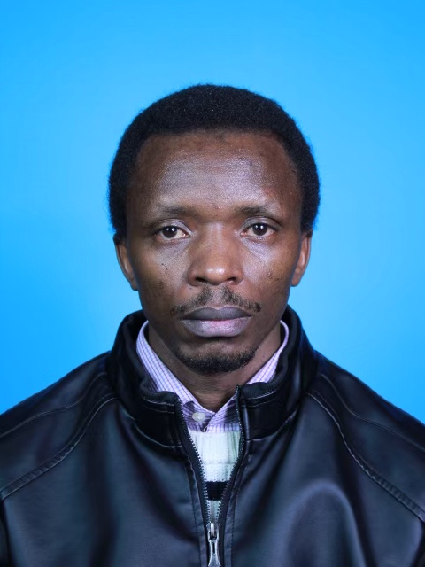
Dr. NZABARINDA Vincent | PhD | Lecturer | Applied Remote Sensing, GIS, Cartography, Climate Change, Vegetation Dynamics, and Soil Erosion Processes | View Profile |
| Ms. UWIDUHAYE Charline | BSc | Tutorial Assistant | Land Survey | ||
| Ms. AYINGENEYE Speratha | BSc | Tutorial Assistant | Land Survey |


